
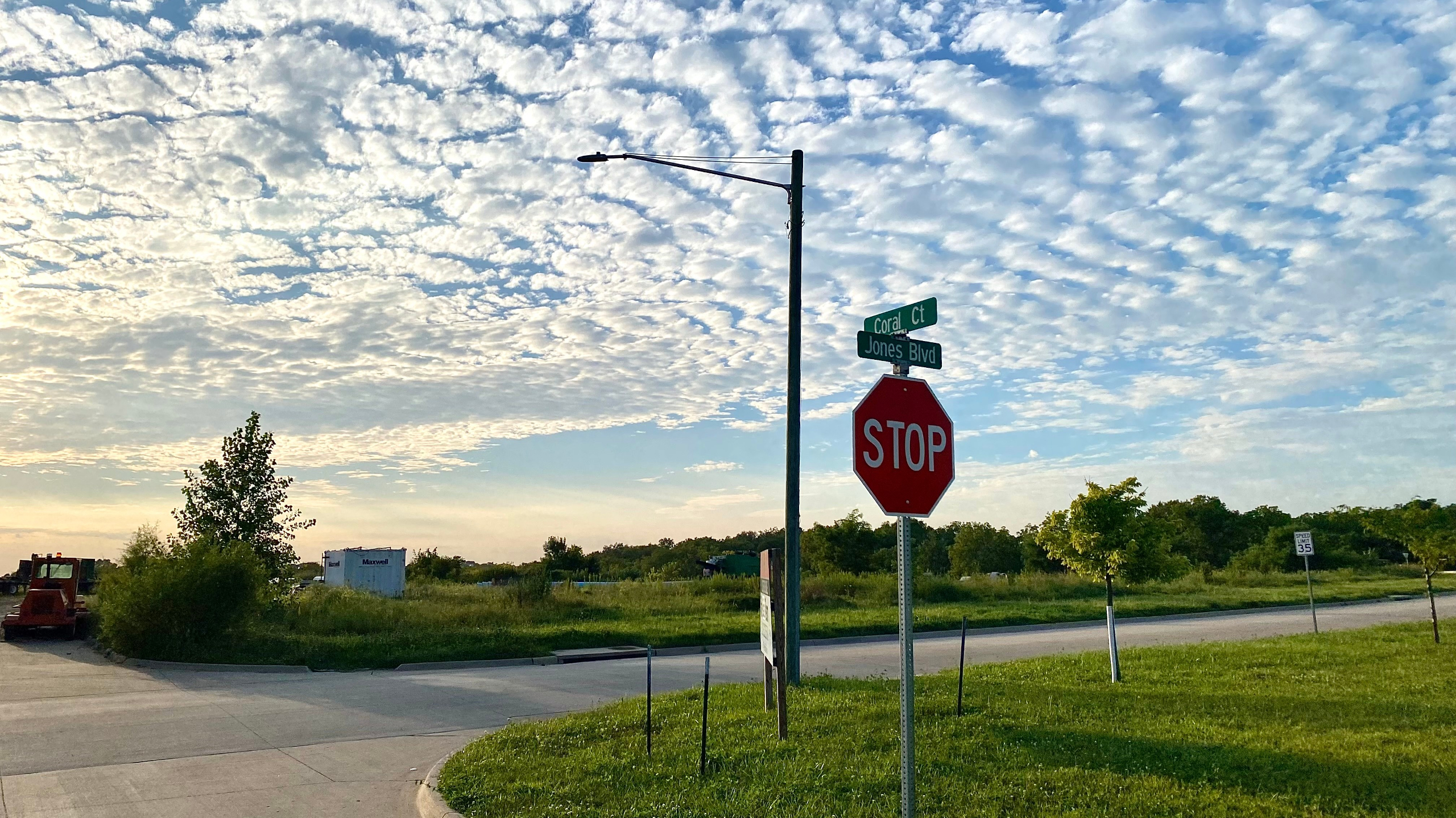
CORALVILLE – At a July 23rd session, the Coralville City Council approved a rezoning and final plat ordinance for a three-phased development named “West Village” which will be located near the intersection of Jones and Oakdale Boulevards within the city’s West Land Use Area. The 28.28-acre project will begin construction this fall and provide a total of 452 dwelling units across a variety of housing types, in addition to two mixed-use buildings containing first-floor neighborhood commercial space.
The first two phases of West Village will consist entirely of townhome style units featuring alley-loaded garages in the rear of each unit, followed by a final phase that will include five multi-family buildings and the two mixed-use structures. The final phase of the project is not anticipated to be completed until 2032. A memo from Coralville’s planning staff describes the project as a “neo-traditional or a new urbanist neighborhood design” where “focus is placed on the pedestrian and resident experience rather than designing around vehicles” (p. 5). The following examination of the project’s planning context and plat documents will evaluate these claims.
Planning Context: 2016 West Land Use Master Plan
West Village will be located within the largely undeveloped area of Coralville bound by Highway 965 to the East, Interstate 380 to the West, Interstate 80 to the South, and Forevergreen Rd to the North. The city has long considered the area important for the future growth of Coralville due to its highway connections and governs its development under the 2016 West Land Use Area Master Plan, which was preceded by a prior planning effort that resulted in the 1998 Coralville Community Plan West Land Use.
The 2016 plan declares “This area serves as a major entryway or ‘front door’ to Coralville and is the last significant growth area for the community” and describes a variety of residential, retail, and office development that seeks five goals: conservation, walkability, sustainability, opportunity, and recreation. Note, the mission statements of the plan make little or no mention of several vital urbanism concerns such as affordability, diversity, pedestrian/bike safety and support of public transportation.
The planning process involved a tour of several locations in the suburbs of Minneapolis-St. Paul that the consultants felt were good exemplars of well-planned communities, including lifestyle center developments such as Arbor Lakes in Maple Grove, MN. Examining the heavily auto-dependent built results of communities such as Arbor Lakes indicates troubling notions for the sustainability and walkability goals (set aside any aspirations of urbanity) of the 2016 West Land Use Area Master Plan. According to the 2022 American Housing Characteristics Survey by the US Census Bureau, automobile commuting (74.74%) and work from home (21.9%) make up the primary commuting shares for Maple Grove, MN residents leaving only 3.36% of workers using transit, bicycles, or walking for their commutes. One can reasonably assume that the vast majority of non-commuting trips are almost wholly accomplished by automobile trips as well.
If the 2016 Plan seeks to create a pedestrian-oriented community, why are auto-dependent suburban shopping districts with simulated urbanism employed as the primary exemplars of good planning? The consultants and City of Coralville would be better served looking to examples of genuine urbanism like another twin cities suburb, Hopkins, MN, with its traditional commercial core on an interconnected grid of streets that is being augmented by residential infill, incremental development, and an upcoming light-rail station. Or, the plan could have looked to complete form-based code communities found in Iowa City’s peninsula neighborhood or New Town at St. Charles, MO, which, at the very least, temper their suburban auto-dependency to a larger degree than Maple Grove’s Arbor Lakes.
PUD Zoning Framework
One notable aspect of the city’s plan for the West Land Use Area is the inclusion of Planned Unit Development (PUD) Zoning section that provides a framework for developers looking to build in the plan area. Associate Professor Sonia A. Hirt of Virginia Tech explains in her comparative work Zoned in the USA that PUD zoning became a popular tool for American cities wishing to bypass their traditional Euclidean zoning codes for certain development areas without having to alter their broader land-use system. However, PUD zoning development proposals are generally subject to administrative review processes that traditional by-right zones are not.
For example, the West Village development discussed in this article required approval by Coralville city staff, the citizen Planning and Zoning Commission, and the city council, meanwhile a traditional development would receive immediate approval from city staff so long as it meets the requirements of its zone. Coralville’s traditional zones, like R1 Single-Family Residential, are replaced by the subsequent zones in the West Land Use Area under the plan’s PUD Framework:
| West Land Use Area PUD Zone | Housing Density | Building Height | FAR Limit | Parking Minimum |
| Detached Traditional Single Family Residential | 6 du/ac | 40ft max. | n/a | 2 garaged /unit |
| Detached Small Lot Single Family Residential | 10 du/ac | 40ft max. | n/a | 2 garaged /unit |
| Attached Single Family Residential | 10 du/ac | 40ft max. | n/a | 2 garaged /unit |
| Medium Density Multi-Family Residential | 16 du/ac | 4 stories max. | n/a | 1 garaged 1 either /townhome unit2.25 spots /apartment unit |
| High Density Multi-Family Residential | 20 du/ac | 3 stories min.5 stories max. | n/a | 1 garaged 1 either /townhome unit2.25 spots /apartment unit |
| Neighborhood Commercial | n/a | 28ft min.36ft max. | 0.25 | 1 spot/ 100 sqft of dining1 spot /250 sqft of multi-tenant commercial1 spot /225 sqft of retail |
| Corridor Commercial | n/a | 28ft min.36ft max. | 0.30 | 1 spot/ 100 sqft of dining1 spot /250 sqft of multi-tenant commercial1 spot /225 sqft of retail |
| Regional Commercial | n/a | 28ft min. | 0.30 | 1 spot/ 100 sqft of dining1 spot /250 sqft of multi-tenant commercial1 spot /225 sqft of retail |
| Mixed Use | 30 du/ac | 3 stories min. | 0.60 | 2 garaged /dwelling unit1 spot /250 sqft of commercial |
| Office | n/a | 3 stories min. | 0.30 | 1 spot/ 200 sqft |
| Industrial | n/a | 50ft max. | 0.50 | 1 spot/ 200 sqft |
While the two single-family residential zones exhibit few differences from Coralville’s traditional zoning, the remaining residential zones and the mixed use zone of the PUD framework provide a notable departure. Coralville’s broader zoning code does not feature a purposeful mixed use zone, relying instead on special exceptions within certain commercial zones.
It is an improvement that the 2016 Plan’s PUD zoning framework grants more opportunity for rowhome, multifamily, and mixed use projects; however, the single-family zone regulations are a bit puzzling and restrictive. For example, the Detached Small Lot Single Family Residential zone has a minimum lot size of 5,000 square feet, but provides for densities of up to 10 dwelling units per acre. To achieve this maximum housing density, lots of 4,356 square feet or smaller would be necessary yet prohibited.
Additionally, though mixed use buildings are specifically included in the zoning framework, the building height and floor to area ratio (FAR) requirements result in a frustrating amount of unused lot space that inhibits the creation of compact, walkable urban communities. Since a minimum of three floors are required and the FAR is capped at 0.60, the maximum lot space a mixed use building can occupy is 20% or one-fifth. While open space for greenery and outdoor amenities is important to any urban environment, 80% of each lot remaining unused (or worse asphalted for surface parking) punishingly compounds distances for those walking and wastes valuable urban land that could be used for more homes, business, and services.

The West Village development uses the Medium Density Multi-Family Residential zone for its first two phases, and then the High Density Multi-Family Residential and Mixed Use zones for the final phase. The project shows the flexibility that comes from the PUD zoning process, as the apartment buildings have a residential density that exceeds the 20 units per acre that is allotted in the 2016 Plan. However, the administrative burdens of PUD zoning are reflected as the developer and city staff have been in negotiations for the project since October of last year. Further, the deficiencies of the FAR restrictions are apparent in the starkness of the empty lot space and expanse of parking among the apartment and mixed-use buildings of the West Village plat.
Despite Coralville staff stating “Mixed-Use areas are intended to be walkable pedestrian oriented commercial spaces on 1st floors…” in the project memo, the plat belies little intention for the commercial spaces of the two mixed use buildings at the corner of Jones and Oakdale to be accessed at any frontage, but the parking lot. There are no direct pedestrian ways to the buildings from the sidewalks of Jones or Oakdale even though these are the streets upon which the buildings attempt to form a continuous frontage, a vital design element of walkable urban environments. Consider the contrast of the on foot experience of downtown Iowa City’s Dubuque Street versus the business access along Lower Muscatine at the Iowa City Marketplace (Sycamore Mall).
If the business accesses of the West Village are along the parking lot, in place of a unified pedestrian zone along the street frontage, the mixed use buildings are little better than strip malls with apartments thrown on top.
Parking Requirements
The most troubling elements of the PUD Zoning Framework are its zealous and nonsensical parking requirements, further indicating the 2016 Plan will continue to enable auto-dependent urban development. There is a growing awareness (Shoupistas rise up) that the regulatory logic behind minimum parking requirements is pseudoscientific and damaging to urban environments.
What sensible, rigorous parking demand analysis determined that 1 parking spot is necessary for every 225 square feet of retail space, but 200 square feet of office space? Why must there be 2 garage spaces per single-family dwelling or rowhome, but 2.25 spaces per apartment unit? The US census estimated 63.7% of renters in Iowa had access to one or less cars in 2022, while 75.3% of Iowa homeowners had access to two or more cars. Parking minimums such as these serve to pave over land for parking spots that are not needed, all the while wasting money, creating extra urban heat, and making pedestrians walk farther.
The damage of these requirements is clearly seen in the West Village plat. A mass of surface parking envelops the apartments and the two mixed-use strip malls, in excess of the garages located below each building. Pedestrians will be required to traverse the surface lots to use the future businesses, unable to enter them from the sidewalks along the actual streets. The only saving grace apparent for the parking management of West Village is that all the garages of the rowhomes in the first phases are rear-loaded on alleyways. Doing so will allow the street frontages of homes to be uninterrupted by drive-ways and sidewalk cutouts resulting in an enjoyable walking environment. It is a shame to limit this pleasantness to such short stretches of neighborhood streets.
The 2016 Plan’s Land Use Map

As the land use map shows, very little overall area is allotted for the mixed-use PUD zone and low density residential and auto-oriented commercial zones still dominate. Disappointingly, no high density residential is placed within walking distance of the mixed-use center imagined for the northwest corner of the plan area. If a greater density of homes were included near this center, it would be an ideal point for supporting transit services to connect the area to the broader metropolitan community. Without decent transit access, most future residents of the West Use Land Area will commute by car, further straining US Highway 6 and Highway 965.
The West Village development corresponds to the mixed-use area envisioned at the corner of Oakdale and Jones on the map, however, the project’s two mixed-use strip malls will occupy a fractional sliver of the overall area the plan represents. It is difficult to be critical of the supplement of rowhouses and apartments; such housing types are a greater benefit to urban communities than single-family homes. Yet, a doubt is cast as to whether this project will inhibit further integration of business and neighborhood services within the community by using so little mixed-use space.
One bright spot is the broad open space zone in the center of the plan area that follows the natural contours of the land and its watershed. The city is already in active stages of planning for the park and released initial renderings and maps earlier this month. The Prairie Urbanist is enamored by the ample conservation areas that will include restorations of prairie savanna and wetland environments. The tall grass prairie and prairie oak savanna that once ruled the landscape of Iowa inspired the name of this site and the mantra might as well be “less parking, more prairie” or some variant.
Conclusion
Ultimately, though the 2016 West Land Use Area Master Plan seeks to cultivate mixed-use spaces and more traditional neighborhoods, it fails by relying on PUD zoning as an involved, incomplete tool and meanwhile perpetuates the supremacy of the private automobile through its unsound parking requirements and lack of transit/active transportation planning. The West Village development is proof that status quo for large developers and corporate tenants will continue to rule in the west of Coralville, with minor prospects for the flourishing of deeper urbanism and freedom from car dependency.
One can find solace that, at least, there will be a few acres of prairie restoration.
One response to “Coralville’s West Village Development and West Land Use Area Plan”
Great article!!